June 30, 2005. Day 10
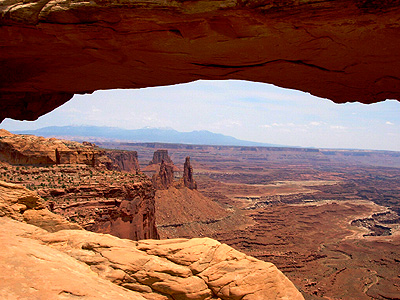
I dropped my truck off at the mechanics this morning and then, thanks to the wife of the couple I was staying with, I got a tour of some of the sights around Moab that I hadn't seen yet. Jane, not her real name, took me north of the town and then turned west into the Island in the Sky section of Canyonlands. After a brief stop at a petroglyph panel we did the hike to Mesa Arch. Although I'd never witnessed it in person, the photos I'd seen of Mesa Arch had fixed it in my mind. The very name seemed to speak to me, inspiring me to write Dawn at Mesa Arch on my first recording Distant Spirits.
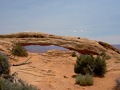
It's a short hike to get to the arch which, upon first glimpse, looks like an eye of stone. It's also smaller than the famous view through it would suggest. The arch is part of a "fin" of rock that is separating from a cliff. Water, which expands when frozen, cut through the rock below the top of the fin and carved out the arch. The view is stunning.
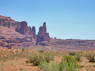
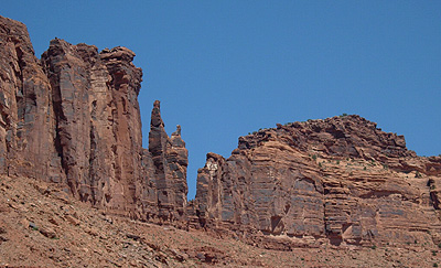
The La Sal mountains in the distance. Giant pillars of red rock tumbling down to a broad plateau that is cut by the Colorado river. This view has become one of the most famous in the area, at least at dawn. During the harsh light of day the scene is bleached and washed out. Still stunning though.
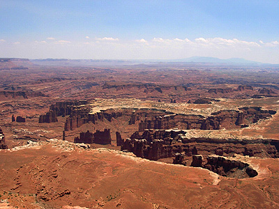
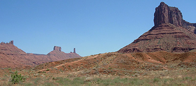
Farther down the road to the tip of the plateau we were on, called "Island in the Sky" we come to Grand View point. Again the view is stunning. Almost a hundred miles in the distance are the Abajo mountains while below us is more of the canyons cut by the Colorado and Green rivers. Giant pillar of rock called Hoodoos are capped with white sandstone. Jane tells me that the name Grand View Point is not for the "Grand" view, but rather the Colorado river was once called the Grand river above it's union with the Green. Grand View Point was named before the name was changed.
SEGO CANYON
While we were leave Canyonlands, Jane, who realized that I enjoyed seeing rock art told me that see knew a place that I wouldn't normally see called Sego Canyon about 35 miles northeast of Moab with rock art from three cultures.
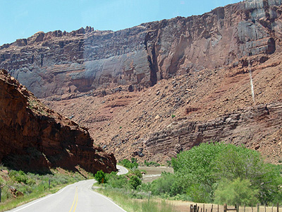
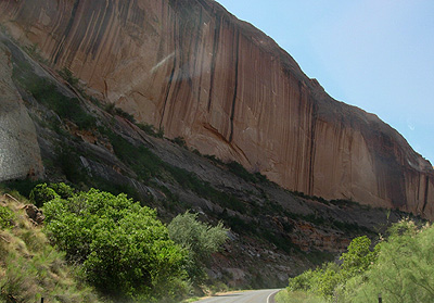
We headed north out of town and soon left the main highway driving through a 20th century ghost town. Heading into the book cliffs we came to dirt road that led into a small canyon and parked.
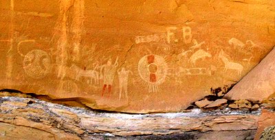
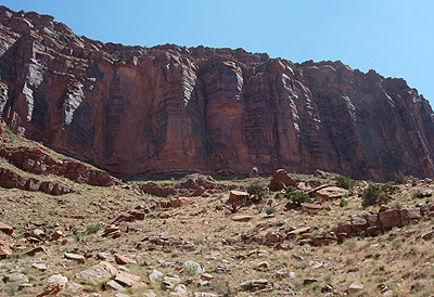
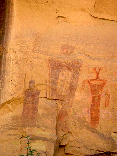
There above us was a large panel of Ute pictographs, dating from the 19th century. As we walk further up the canyon we went back in time.
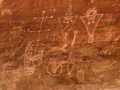
Next was a panel of Fremont petroglyphs. The Fremont culture is thought to have been current with the Ancestral Pueblo cultures. They have some similar traits, such as pit houses, and later pueblo style building. Some believe them to, perhaps, be the ancestors of the modern Ute culture. Further up the canyon, however, was the biggest surprise of all.
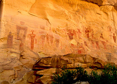
A huge panel of Barrier Style pictographs floated above us. The Barrier style is very old. Most of the panels can not be dated but limited information puts them somewhere between BC 2,000 to AD 1, some 2,000 to 4,000 years old.
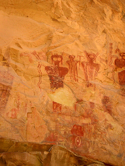
The human figures in most Barrier style panels have ghostly eyes, floating bodies and seem to be connected in some way to shamanism. The figure above looks to be holding a horned serpent or snake.
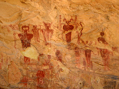
Wild head dress abound along with stylistic clothing or robes. Many people see aliens from another planet in these other worldly depictions.
What ever their meaning they stare at us down through the ages.
We stayed as long as we could, but Jane had to get back to work and I needed to check on my truck, as so we headed back toward Moab. Once back at the mechanic., it turned out that a bad spark plug gap was causing the problem after all. Thanks to Tony at Arches Repair Center I was mobile again.